Field notes · 19 October 2026
What counts as functioning condition under the Peatland Code
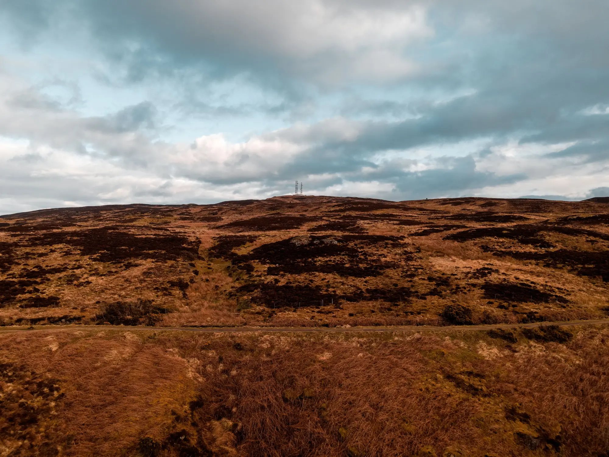
If you're writing a monitoring plan or prepping for a validation visit, "functioning condition" is the phrase that decides a lot of paperwork. Funders and verifiers want to know which condition class a site sits in now, which class it started in, and whether restoration work has moved it. Getting the terminology straight matters as much as the fieldwork.
The condition categories in play
The Peatland Code's condition assessment draws on the broader classification used across UK peatland condition guidance, which splits sites into a handful of recognisable states: near-natural (functioning), modified, drained or modified-drained, actively eroding, afforested, and artificial (where peat has been converted to agriculture, forestry, or extraction use). Most restoration programmes are working somewhere in the middle of that list, moving a site from drained or eroding toward modified, and eventually toward near-natural.
Each category has its own bundle of field indicators, and a site can show features from two categories at once. That's normal on a working bog mid-restoration. It's also why the condition category assigned at validation and the one assigned at the next revalidation are rarely decided by a single visible feature.
What functioning near-natural looks like on the ground
A site in functioning, near-natural condition holds its water table at or close to the surface for most of the year, not just after rain. The vegetation is doing the work you'd expect of an active bog: Sphagnum cover is present and spreading rather than patchy and retreating, and the mix of bog mosses, sedges, and dwarf shrubs looks like a system building peat rather than losing it. There's no significant network of drainage cuts pulling water off the surface, no bare peat exposed to wind and rain, and no recent burn scar or active erosion gully cutting into the peat body.
None of those indicators work alone. A site can have good Sphagnum cover and still fail on condition if old grips are still drawing the water table down in dry spells. A site can have a stable water table and still sit in a lower category if burning history has left the vegetation dominated by species that don't build peat the way Sphagnum does. Assessors are reading the combination, and so should anyone trying to predict which way a revalidation will go.
Where sites get stuck between categories
The hardest calls sit between drained and modified, and between modified and near-natural. A site with grips blocked five years ago might show a recovering water table but still carry drainage features visible in aerial imagery and still show molinia or heather dominance where Sphagnum hasn't recolonised yet. Is that modified, or is it near-natural with lingering legacy features? The answer usually comes down to how much weight the assessment gives to current hydrological function versus visible historic disturbance, and that weighting is exactly the kind of judgement call that benefits from more than one year of observation.
Condition isn't a one-way ratchet either. A dry summer, a wildfire, or a grazing change can push a site backward a category between one assessment and the next. Programme managers who've only budgeted for forward progress sometimes get caught out here. A year-over-year read on drainage patterns, burn scars, and bare peat exposure across the restoration area gives you the early flag before a formal reassessment turns a slide into a surprise. That's the kind of tracking Peatland Monitoring builds its annual condition layer around, flagging the change before it shows up in a verifier's report.
Why the category actually matters for your funded plan
Condition category isn't academic. It underpins the baseline against which carbon benefit is calculated, it's what a verifier checks at each revalidation, and it's the number a funder will ask about when they want to know if the money is working. A programme that can show, with a consistent annual read, where drainage and bare peat have retreated and where they haven't, walks into that conversation with evidence instead of an estimate.
If you're tracking several restoration areas against a funded plan, it's worth putting a number on when you'd catch a slip back toward drained or eroding condition, before the next formal survey does it for you.