Field notes · 7 October 2026
How to tell active drainage from an old relict grip in satellite imagery
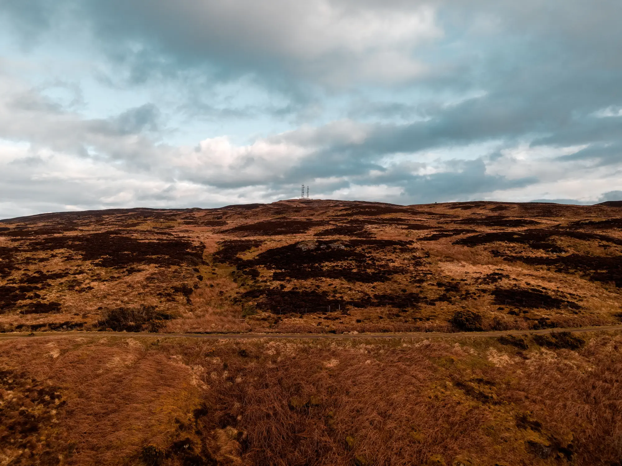
Anyone who has walked a blanket bog with a 1946 estate map in one hand knows the problem. Half the grips on the map are still cutting water off the hill. The other half have grown over so completely you'd twist an ankle before you found them. From the ground this sorts itself out in a season. From a desk, working through imagery for a restoration area you haven't walked in months, it's a harder call.
What separates an active grip from a relict one
An active grip is still doing the job it was dug for: moving water off the peat. In imagery that shows up as a linear feature with a consistent wet signature along its length, often with a darker, saturated edge where the channel holds water after rain. Bare peat along the spoil banks tends to stay bare, because nothing has had the chance to root into ground that keeps getting disturbed by flow and erosion. Vegetation either side often shows the stress pattern you'd expect on a drying hag: drier heather or exposed peat right at the channel edge, greener moss further back.
A relict grip has usually been abandoned long enough that the channel has infilled or revegetated. The linear feature is still visible in the terrain, grips rarely disappear entirely, but the spectral signature along it stops looking like water and starts looking like the vegetation around it. Sphagnum and cotton grass colonise the channel floor. The spoil banks, once bare, carry the same moss and heather cover as the surrounding bog. There's no consistent wet line, and in dry-season imagery the whole feature can nearly vanish into the background texture.
A restoration plan that treats every grip on the historic map as a live drainage pathway overstates the blocking work needed. It funds re-blocking on channels that healed decades ago, while the ones still cutting water underneath a canopy of sphagnum sit unblocked and unreported. Go the other way, assume every mapped grip has already healed over, and the plan misses drains still lowering the water table today, the ones a funder most wants flagged.
Reading the signal across a season, not a single pass
A single image rarely settles it. A grip can look wet in one capture for reasons that have nothing to do with drainage: standing rain, a flush, shadow off a steep bank. What tells you more is the same channel across several passes. Does the wet signature track rainfall and then dry back like the surrounding bog, or does it stay consistently darker regardless of recent weather? Relict channels behave like their surroundings. Active ones behave like drains.
This is also where year-over-year comparison earns its keep. A grip that reads as actively drained this year and shows a drying, revegetating signature next year is a grip blocking scheme working. One that still reads wet two years after blocking works went in is a scheme that needs a site visit, not a tick in the box. Spectral index change between annual passes, rather than a single snapshot, is what turns "this looks wet" into "this channel's condition changed since last year."
None of this replaces walking the ground where it counts: confirming a dam has held, checking a channel hasn't re-cut around a blocking structure, ground-truthing anything the imagery flags as ambiguous. What the imagery does well is screen a whole restoration area for grips worth a look, rather than every project officer walking every linear feature on a hundred-year-old estate map on the off chance it still carries water. For a programme reporting against a funded plan, that screening step turns "we think the grips are mostly blocked" into a change flag list a funder can read.
Peatland Monitoring builds an annual condition layer and change flag list from wide-swath imagery, so a restoration team can see which grips across their area still look active before anyone walks out to confirm it. If that sounds like the gap in your current monitoring, the early-access list is open now.