Field notes · 19 October 2026
Field notes: the first winter after grip blocking
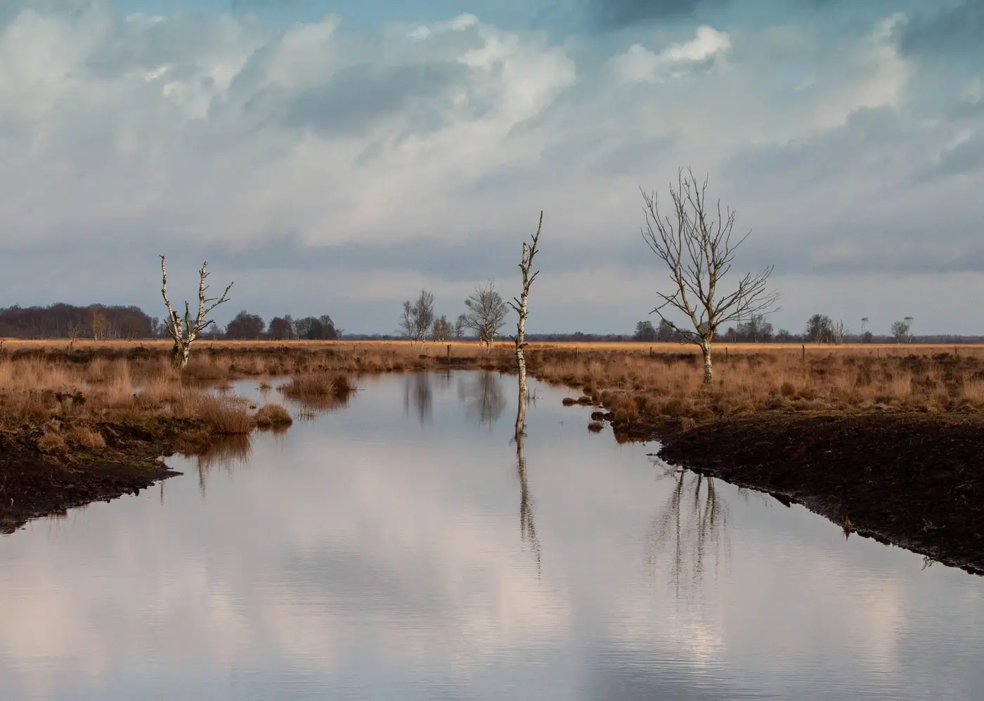
We blocked the last of the grips on this block in late September, ahead of the equinox rains. Peat dams every fifteen to twenty metres, a few plastic piling stretches where the gradient was steeper than the contractor liked, and one long stretch of reprofiled ditch where the digger operator just walked the banks in and let the hag do the work. By the time the first storm came through in October, the site looked finished. It did not look restored. Those are different things, and the gap between them is what these notes are about.
Early November. The first real test came with 40mm over two days. I walked the eastern dams first because that's where the old grip network was densest, a legacy of the 1970s drainage scheme that never quite paid off in grazing. Water was backing up behind every third or fourth dam, exactly as the design predicted, but it wasn't staying put the way I'd hoped. Two dams had minor flanking, water cutting a new line around the shoulder rather than over the spillway. Nothing structural, nothing that needed the digger back, but a reminder that a peat dam is a negotiation with the slope, not an instruction to it.
Late November. The dip wells on the central transect, which had sat at 25-30cm below the surface for most of the growing season, came up to within 8cm after a week of steady rain and stayed there through a cold snap. Frost usually drops the readings as the peat stiffens; this year it didn't, the water had somewhere to be now. Walking the bunded cells at dusk, you could hear it rather than see it: a kind of settling, seeping sound under the Sphagnum I don't remember from the drained years. Old hands on the team call it "the bog breathing back," which sounds sentimental until you've stood on peat that's doing it.
December into January. The bare peat hags on the south face, our main erosion concern going into the works, held moisture noticeably longer between rain events than they did last winter. They're still far from stable, though they're slower to crust and crack at the edges than they were twelve months ago. Whether that translates into a measurable drop in oxidation and emission over the funded period is exactly the thing we can't answer by eye, and it's the gap I keep coming back to. A site visit tells you what happened at the dams you walked past. It doesn't tell you what the far side of a 400-hectare block did while you were somewhere else entirely, and funders tend to want the far side accounted for too.
That's the honest problem with a first winter. The visible signs, pooling, Sphagnum colour, standing water where there used to be a channel, are real and worth recording, but they're also exactly the signs you'd expect to see for the wrong reasons: a wet autumn, a mild December, a contractor who over-built the dams and created ponding that won't last past April. Separating "the hydrology is recovering" from "it rained a lot" needs a wider, repeatable look at the block than a notebook and a pair of waders can give you, which is why we've put this site on the early-access list for an annual read on condition across the whole restoration area, the kind of year-over-year comparison that would tell us whether the bare peat on the south face is actually shrinking or just looking better in October light.
For now, the grips are blocked, the water's finding new lines, and the real test is next October, when we see what held and what the frost and the flanking took back. If you're tracking a drainage programme through its own first winter, it's worth getting on that waitlist before the comparison year arrives.