Field notes · 7 October 2026
Blanket bog vs raised bog: telling them apart in satellite imagery
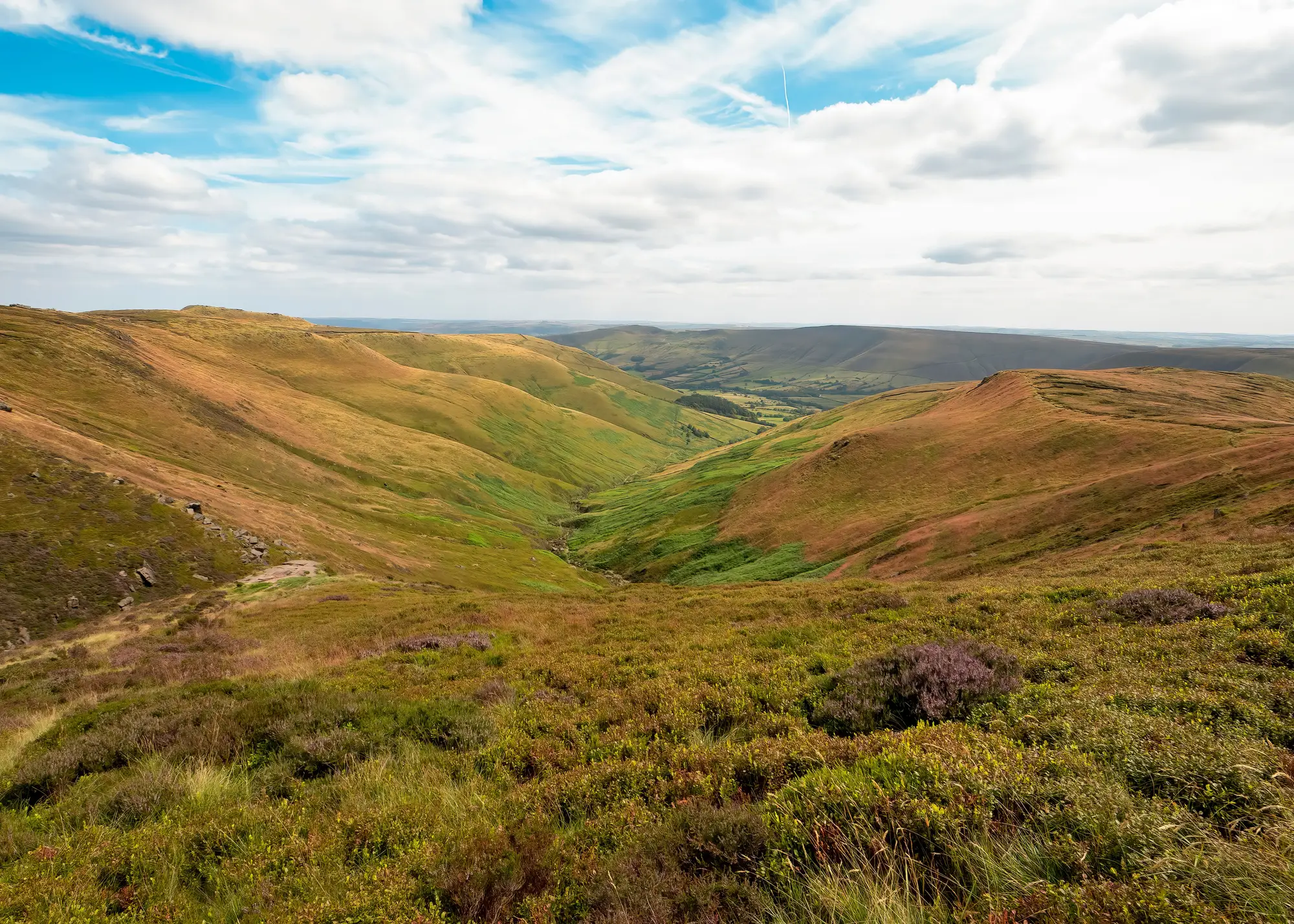
If you manage restoration across more than one site, you've probably already got a mix: blanket bog draped over a hillside somewhere wet and windswept, and a raised bog sitting in a basin like a shallow pudding bowl. On the ground the difference is obvious within a few steps. In imagery, especially at wide-swath resolution, it takes a bit more reading.
Shape and terrain do most of the work
Raised bog gets its name for a reason. The peat has built up over millennia into a low dome, often several metres higher at the centre than at the margins, sitting in a basin or old lake bed with mineral soil or a lagg fen around the edge. From above, that dome shows up as a rounded, often near-circular or oval patch sitting in flatter, more enclosed terrain. You'll usually see a sharp edge where the bog meets farmland or woodland, because raised bogs tend to form in lowland basins that were cleared and drained around the margins long before anyone thought about restoration.
Blanket bog does the opposite. It follows the land rather than making its own shape. On a wide-swath image it reads as a continuous, irregular blanket across upland slopes, saddles and plateaus, often stretching for kilometres with no clean boundary. You won't find a dome. You'll find peat draped over contours, thinning on steeper ground, pooling into bog pools on the flats, and typically sitting well above the enclosed, cultivated land below it. If your restoration area spans several hundred hectares of open hill rather than a single discrete basin, you're very likely dealing with blanket bog, and the terrain context alone gets you most of the way to a correct call before you even look at spectral indices.
What the spectral signal adds
Terrain narrows it down. Spectral indices confirm it, and they're also where ombrotrophic versus blanket peat condition starts to separate from the typology question.
Raised bogs, where still functioning, tend to show a strong, fairly uniform Sphagnum signal across the dome. The vegetation is rain-fed only (that's the ombrotrophic part) and the moisture regime is driven by the bog's own water table rather than runoff from surrounding land, so a healthy dome often reads as spectrally consistent from edge to edge, with a visible fringe of differently vegetated lagg fen around the perimeter. Where that signal breaks down into patches, drainage ditches or dark ground, you're looking at a part of the dome that's drying out or already cut.
Blanket bog is noisier by nature, and that's not a flaw in the data, it's the terrain. Because it follows slope and aspect, you'll naturally get variation in moisture and vegetation type across a single contiguous area. Hagg and gully erosion, drainage grips cut decades ago, and exposed peat on steeper faces all sit within what's still one bog. Picking out a genuine condition change on blanket bog means comparing this year's spectral read against last year's for the same patch, not against some uniform baseline, because the baseline itself is uneven by design.
This is the practical reason bog type classification matters before you start tracking change. A drainage ditch on a raised bog dome is a different management problem, and often a different funder flag, from a hagg line on blanket bog that's been eroding since the 1970s. Knowing which typology you're looking at changes how you read every subsequent change flag.
Getting the typology right before you track condition
For a restoration programme working across mixed sites, the sequence that works is terrain first, spectral signature second. Confirm the shape and setting (dome in a basin, or blanket over upland terrain), then let the indices tell you where that type is holding its moisture and vegetation and where it isn't. Mixing the two up, treating a drying raised bog margin like ordinary blanket bog variability, is the quickest way to miss a real change on your funded area.
Peatland Monitoring builds an annual condition layer and change flag list for restoration areas like these, tuned to the bog type sitting underneath them rather than a single generic peat baseline. If you're tracking a mixed blanket and raised bog portfolio against a funded plan, it's worth getting on the early access list.